
Barapullah Phase III Traffic Mess Sparks Fresh Infrastructure Debate Across Uttar Pradesh
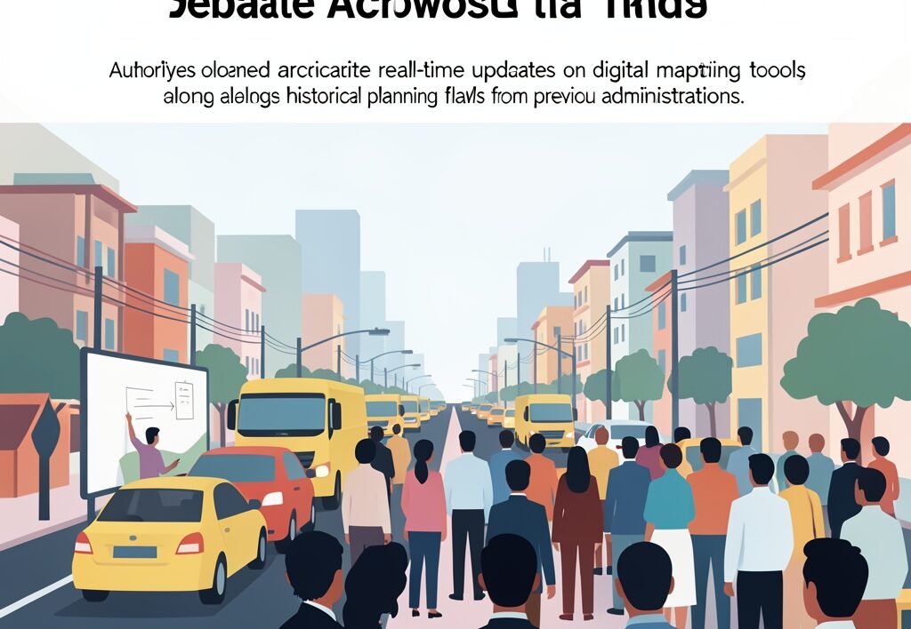
When authorities threw open the Barapullah Phase III corridor connecting Mayur Vihar Phase-I on Noida Link Road with Sarai Kale Khan on Ring Road, commuters anticipated smooth transit. Instead, the newly minted link road has rapidly devolved into a massive bottleneck, sparking a fierce political blame game and tough questions about modern urban planning. For residents of Uttar Pradesh, daily commuters, and the wider diaspora tracking regional infrastructure, this capital city transit failure offers a stark reminder of how engineering oversights translate into daily misery on the asphalt.
The immediate fallout involves a web of finger-pointing between administrative bodies and political leaders. The Delhi Traffic Police and the Public Works Department pointed to multiple operational factors behind the severe congestion. Meanwhile, political leaders laid the blame squarely on previous administrative decisions, citing fundamental design and planning flaws embedded deep within the project’s historical blueprint.
The Tech Factor and Planning Oversight
Beyond political sparring, the breakdown exposed vulnerabilities in digital navigation. Officials from the traffic police and PWD alleged that popular mapping software failed to reflect real-time gridlocks accurately. This digital lag funneled unsuspecting motorists directly into an already overburdened corridor, worsening an already volatile situation. When navigation apps misread ground reality, urban arteries choke instantly, leaving drivers stranded for hours.
This situation mirrors discussions happening across major transit hubs in northern India, where rapid expansion often outpaces ground-level traffic management. For context on how historical transit projects intersect with current realities, see our analysis on Barapullah Phase III traffic delays and the broader regional impact detailed in what the new corridor means for Uttar Pradesh commuters. Furthermore, local administrators must review how municipal forces handle heavy traffic updates through Gurugram traffic police advisories or tech-driven solutions like the Lucknow traffic police QR code campaign.
Why It Matters for Uttar Pradesh
Transport networks linking the National Capital Region directly affect travelers from Lucknow, Noida, Ghaziabad, and beyond who frequently travel to Delhi for business or transit. When arterial projects falter, the ripple effects stretch across state borders, delaying supply chains and passenger travel alike. Effective infrastructure requires more than ribbon-cutting ceremonies; it demands synchronized traffic advisories, accurate digital integration, and robust civic accountability.
To prevent similar gridlocks during peak travel seasons, local administrative bodies must adopt proactive safety and crowd-control frameworks. Understanding how regional transit corridors intersect with safety is vital, as seen in discussions around Purvanchal Expressway safety measures. When cities grow, road safety and clear communication must remain top priorities for civil engineers and traffic authorities alike.
Looking Ahead at Urban Mobility
As cities across Uttar Pradesh expand their own flyovers and ring roads, municipal planners are watching the Barapullah situation closely. Avoiding similar bottlenecks requires a strict adherence to ground-level testing before public rollout. Commuters deserve reliable roads that match digital maps, sparing everyday workers from avoidable morning delays.
- Urban planners must audit legacy designs before opening major flyovers.
- Navigation platforms require tighter coordination with local traffic cells.
- Interstate transit corridors need fail-safe congestion management plans.
Proper urban execution requires aligning digital navigation tools with real-world road capacity before opening major routes to the public.