UP State Capital Region Base Map Approved: What It Means for Lucknow’s Future
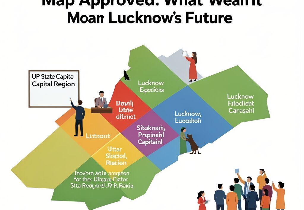
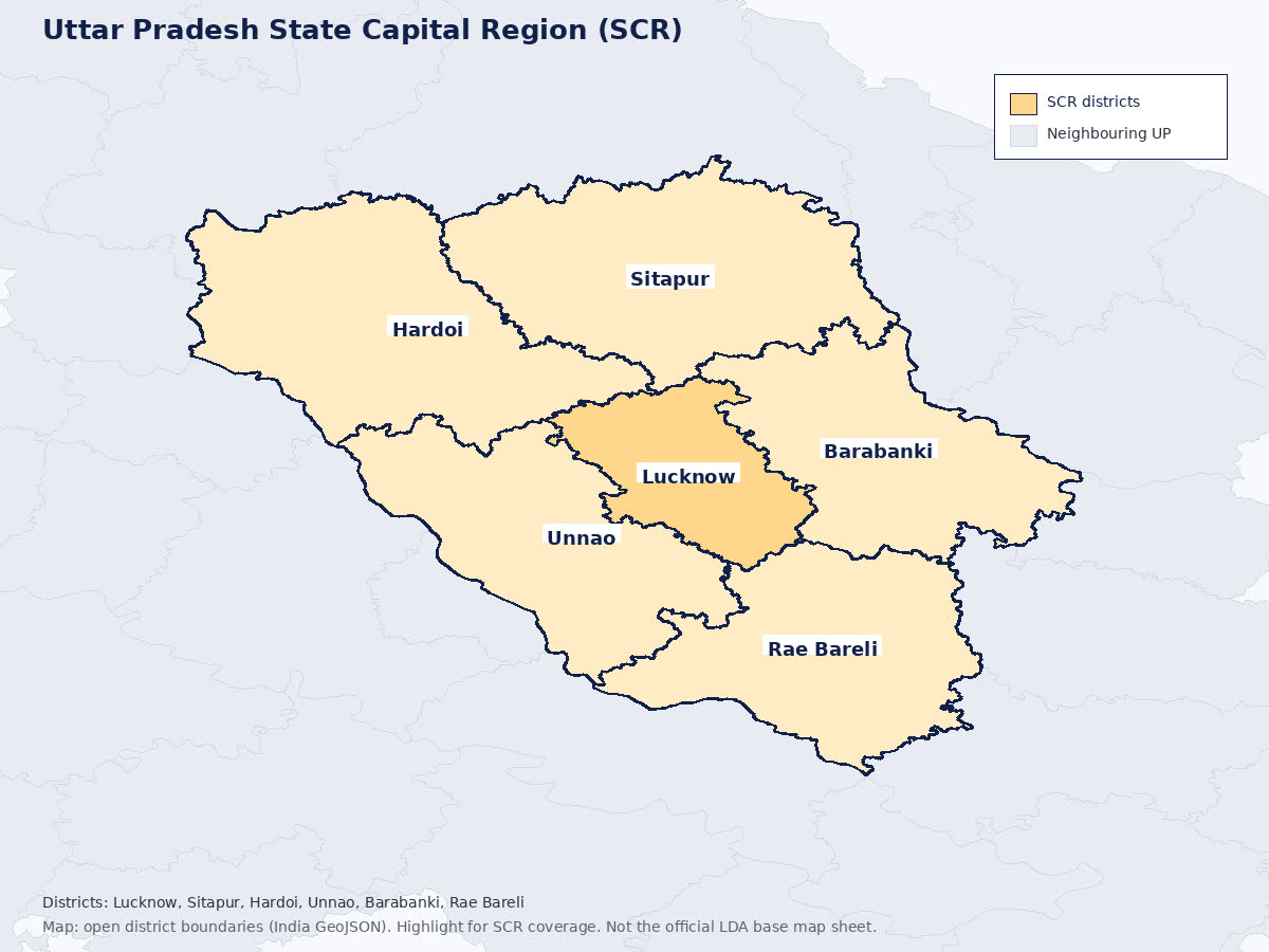
Lucknow’s urban expansion is finally looking beyond municipal limits. On Tuesday, the proposed UP State Capital Region cleared its first major hurdle as the review committee officially approved the base map for the six-district metropolitan zone. Spanning a massive 26,741 square kilometers, the initiative aims to connect Lucknow with its neighboring districts—Sitapur, Unnao, Hardoi, Barabanki, and Rae Bareli—to streamline infrastructure, economic growth, and urban sprawl.
The crucial decision came down during a meeting chaired by Lucknow divisional commissioner Vijay Vishwas Pant at the Lucknow Development Authority’s Parijat auditorium. With the base map now signed off, the project shifts immediately toward creating a comprehensive, GIS-based regional master plan. This follows the state government’s earlier push in May to identify anchor projects and invite inter-departmental feedback from multiple municipal stakeholders across the state.
For residents who navigate daily life across the boundaries of Avadh, the approval marks a distinct shift from isolated city planning toward a synchronized economic corridor. As local commuters battle gridlocks on transit routes stretching toward Unnao and Barabanki, regional officials intend to streamline transport bottlenecks before housing demand spirals completely out of hand.
Building a Greater Metropolitan Grid
For anyone who has watched Lucknow stretch outwards along the Sultanpur Road, Faizabad Road, and Kanpur Road corridors, the need for coordinated planning is obvious. Urban pressure has long outgrown single-city management. The new regional blueprint hopes to solve this by treating neighboring economic centers as an integrated ecosystem rather than isolated pockets.
Residents often feel the pinch of rapid, uncoordinated growth—ranging from suburban traffic bottlenecks to uneven civic amenities. By anchoring development on a GIS-based framework, planners can map out industrial corridors, transit links, and housing zones logically. This mimics rapid structural expansions seen elsewhere, though local civic groups remain watchful about how land acquisition and municipal integration will be handled on the ground.
The state’s broader administrative machinery has been working overtime to modernize regional infrastructure. Similar strategic administrative pushes have been visible across sectors, such as the Sarvodaya Schools Overhaul Ordered by UP Government After Protests and recent steps like the Ansal API Township: UP Cabinet Set to Decide on LDA Takeover. Urban planners hope the UPSCR framework avoids past pitfalls of fragmented suburban development.
Furthermore, regional connectivity ties directly into broader aviation and transit networks. When flyers face unexpected travel hurdles, issues like Delhi Flight Diversions to Lucknow Airport Highlight Regional Aviation Pressures demonstrate why integrated infrastructure matters across municipal lines.
Why it matters
This regional integration determines whether Lucknow evolves into a chaotic megacity or a well-connected economic engine. For everyday residents, daily commuters, and the UP diaspora tracking home-state investments, a unified master plan means predictable transit corridors, better utility grids, and organized industrial growth. Instead of haphazard expansions spilling into agricultural greenbelts, future housing and commercial hubs will align with designated transit and utility networks.
Next up, the approved base map heads directly to the UPSCR executive committee for formal vetting. Once that clears, ground-level surveys and draft zoning outlines for the regional master plan will roll out. You can read more about the official proceedings via Hindustan Times.
- Covers 6 key districts: Lucknow, Sitapur, Unnao, Hardoi, Barabanki, and Rae Bareli.
- Total geographic footprint spans 26,741 square kilometers.
- Focuses on GIS-driven mapping to coordinate infrastructure and economic zones.
As these administrative gears turn, municipal stakeholders will also need to keep an eye on parallel civic challenges, including UP wall collapses claim five lives including four children and ongoing administrative reviews like Lucknow police pending cases: ACPs Ordered to Speed Up Investigations. True metropolitan growth requires robust civil safety and law enforcement to match physical concrete expansion.
Meanwhile, tech-forward economic policies like the Yogi Adityanath Launches UP Startup Mission Portal and Startup Policy 2026 in Lucknow could find natural landing zones within the upcoming industrial corridors of the newly mapped capital region.